COLLECTIBLE BOOKS
The World War in Maps (1942)
Year
1942
Author
Various
Condition
Used (good)
Publisher
George Philip & Son Ltd.
Format
Booklet


GBP £27.00
Delivery Information
Select your location to see estimated delivery.
Year
1942
Author
Various
Condition
Used (good)
Publisher
George Philip & Son Ltd.
Format
Booklet
Description
Published in 1942 by George Philip & Son Ltd., London, The World War in Maps is a fascinating visual resource that outlines significant global events during World War II through detailed maps. This booklet provides insights into various military campaigns, geopolitical changes, and strategic maneuvers from 1940 to 1942. It serves as a continuation of The War in Maps series, ideal for collectors and history enthusiasts.
Condition report
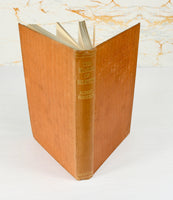
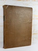
Overall, this copy is in good condition. The pages are generally clean, with only slight spotting visible on the inside of the front cover. The binding remains firm, ensuring all pages are secure. Page corners are slightly turned down, and there is minor edge wear on the front cover along with some light spotting. The back cover shows a few markings and minor pen strokes, while a very small pen mark can be seen on the contents page. Images form part of the description, so please review them carefully to assess the booklet’s condition.


